


20 flood, landslide-prone areas identified
MANILA, Philippines — The Department of Environment and Natural Resources (DENR) has identified 20 areas in the country that are prone to floods and landslides.
The identification of these areas came as the Philippines was elected host of the Loss and Damage Fund (LDF) board.
The LDF has been established to address the inability of some member-countries to comply with the Paris Agreement, to meet, cope with and adapt to the impacts of climate change.
The Mines and Geosciences Bureau (MGB), an attached agency of the DENR, identified these areas in the geohazard mapping and assessment program, and included these in the 268-page National Adaptation Plan (NAP) approved by President Marcos.
The DENR-MGB said the top 10 flood-prone areas are Pampanga, Nueva Ecija, Pangasinan, Tarlac, Maguindanao, Bulacan, Metro Manila, North Cotabato, Oriental Mindoro and Ilocos Norte.
“Several provinces are strikingly the most flood-prone. Pampanga, Nueva Ecija, Tarlac and Bulacan are among the provinces listed by the DENR-MGB. These areas are susceptible to flooding due to their proximity to rivers and bodies of water as well as other factors such as topography, land characteristics and subsidence,” the NAP report said.
“Metro Manila, being a highly urbanized region, is also included in the list due to its low-lying coastal areas and insufficient drainage systems,” it added.
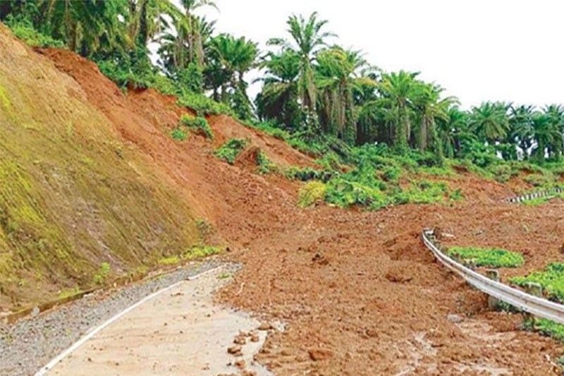
The DENR said the most landslide-prone provinces are Benguet, Mountain Province, Nueva Vizcaya, Kalinga, Apayao, Southern Leyte, Abra, Marinduque, Cebu, Catanduanes and Ifugao.
“Landslides occur in areas with mountains and high elevation. In the top 10 landslide-prone areas identified by the DENR-MGB, all provinces in the Cordilleras are included. The region is situated on and around the Cordillera Mountain range, making the entire region susceptible to landslides after periods of heavy rains, typhoons or earthquakes,” the report said.
Flood hits more Central Mindanao towns
Meanwhile, floods spawned by heavy rains submerged 18 more towns and destroyed bridges and houses in three provinces in Central Mindanao on Saturday.
The calamity displaced up to 40,000 people in Maguindanao del Sur and Cotabato provinces, which are near swamps and rivers that connect to the Ligwasan Delta, which swells during rainy days.
Two bridges in sitio Tambis, Barangay Sta. Clara in Kalamansig as well as in Barangay Kidayan in Palimbang, Sultan Kudarat were destroyed by floodwaters.
The provincial government deployed emergency responders in Kabacan and Pikit towns to help local government units address the needs of flood victims.
The Office of Civil Defense in the Bangsamoro Autonomous Region in Muslim Mindanao and the BARMM-Ministry of Social Services and Development (MSSD) are helping residents in flood-stricken areas in Montawal and Pagalungan towns in Maguindanao del Sur as well as in 63 Bangsamoro barangays in Cotabato.
BARMM-MSSD chief Raissa Jadjurie deployed teams to distribute relief supplies in Matanog, Maguindanao del Norte and in the nearby towns of Balabagan, Kapatagan and Malabang in Lanao del Sur.


- Latest
- Trending


