‘Marce’ to hit areas affected by ‘Kristine’, ‘Leon’

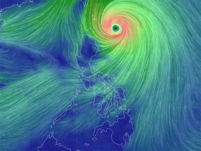
MANILA, Philippines — The state weather bureau urged areas recently affected by cyclones ‘Kristine’ and ‘Leon’ to prepare as Tropical Storm Marce (international name: Yinxing) may also hit them.
Kristine and Leon devastated the Philippines in the latter part of October, leaving a death toll of at least 150 people.
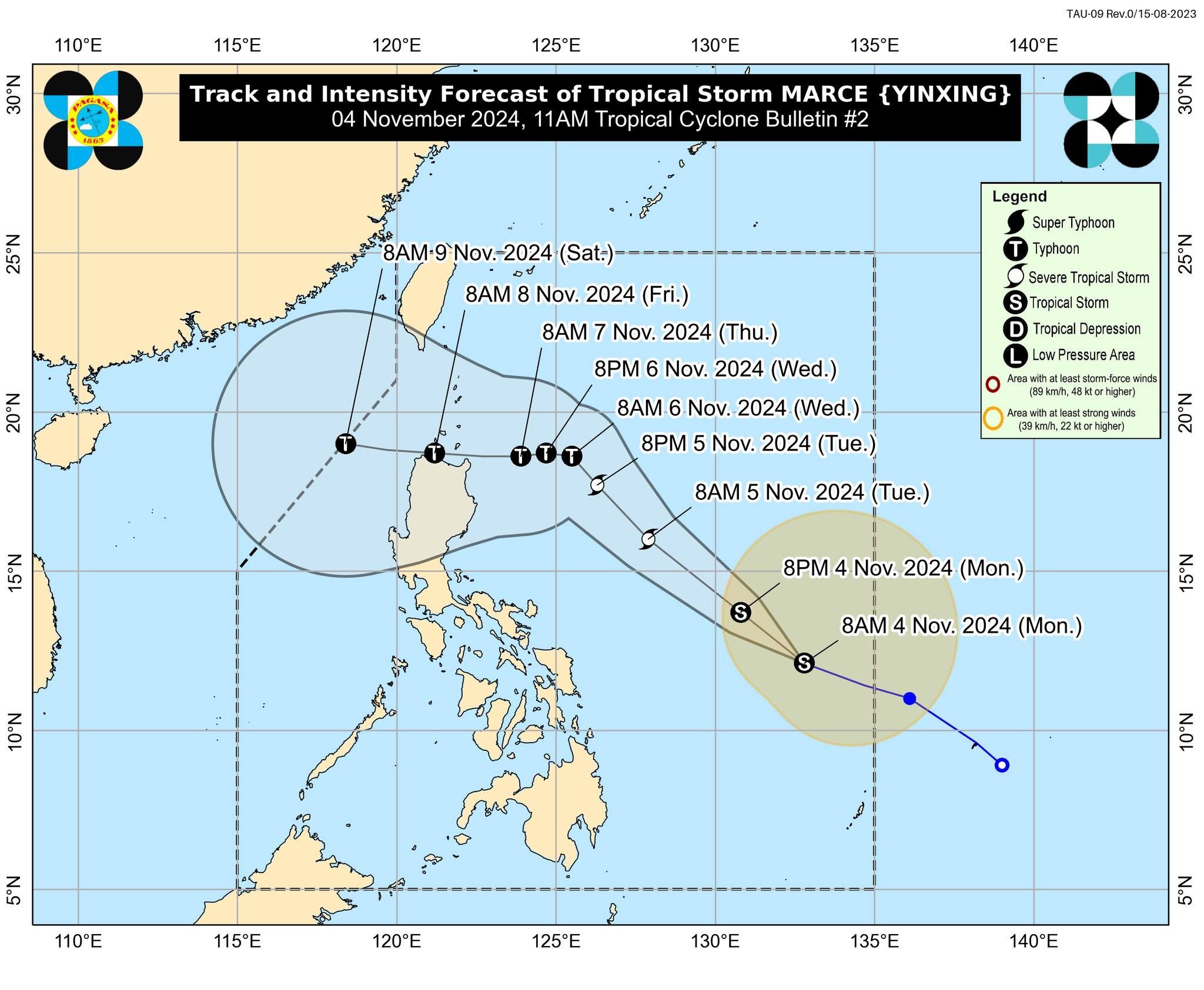
As of 11 a.m., Marce has slightly gained strength but remains in the tropical storm category. It was last located 775 kilometers east of Borongan City, Eastern Samar, packing maximum sustained winds of 75 km per hour and gustiness of up to 90 kph.
“Dito sa may track ni Marce, na halos yung dadaanan niyang area ay na sa gitna ni Leon at ni Kristine kaya yung mga areas na naapektuhan nung previous na dalawang bagyo ay kailangan natin maghanda,” PAGASA weather forecaster Veronica Torres said in a press briefing.
(In Marce’s track, the areas it will hit is almost the middle of Kristine and Leon so areas affected by the previous cyclones need to prepare.)
Marce may intensify into a severe tropical storm category by tomorrow, November 5.
“It may also reach typhoon category by tomorrow evening or Wednesday early morning. Rapid intensification is likely,” PAGASA said in its weather bulletin,
Marce is set to intensify as a typhoon as it approaches Philippine landmass on November 6, Wednesday.
Extreme Northern Luzon, Northern Luzon and Central Luzon are expected to feel Marce’s impact due to the cyclone’s range.
Marce may make landfill in the vicinity of the Babuyan Islands or Mainland Northern Cagayan by Thursday evening or early Friday morning.
While there are no tropical cyclone wind signals hoisted yet, PAGASA said that Signal No. 1 may be raised over Cagayan by tomorrow.
“The highest Wind Signal which may be hoisted during the occurrence of Marca is Wind Signal No. 4,” PAGASA said.
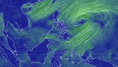
As Marce moves inward in the Philippine area of responsibility, it may enhance the northeasterly wind flow. The combined effects of the two weather systems are forecast to trigger rains in Extreme Northern Luzon.
The northeasterly wind flow will already bring strong to gale-force gusts in several areas today, namely: Batanes, Cagayan including Babuyan Islands, Isabela, Ilocos Norte, Aurora, and the northern portion of Quezon.
- Latest
- Trending


