More areas under Signal No. 1 as 'Julian' develops into tropical storm
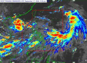
MANILA, Philippines — More areas have been placed under Tropical Cyclone Wind Signal (TCWS) No. 1 as Julian (international name: Krathon) has intensified into a tropical storm.
As of 10:00 a.m., PAGASA said that Julian was located 465 kilometers east of Aparri, Cagayan.
Moving slowly south southeast, Julian was carrying peak winds of 65 kilometers per hour near its center, with gusts reaching up to 80 kph.
Wind Signal
The state weather bureau raised TCWS No. 1 over the following areas:
- Batanes
- Cagayan including Babuyan Islands
- northern and eastern portions of Isabela (San Pablo, Divilacan, Maconacon, Palanan, Cabagan, Santa Maria, Tumauini, Ilagan City, San Mariano, Santo Tomas, Delfin Albano, Dinapigue)
- Apayao
- Ilocos Norte
Residents of areas under Signal No. 1 could experience minimal to minor impacts from strong winds, ranging from 39 to 61 kph.
Heavy rainfall, severe winds
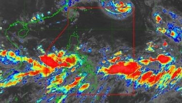
PAGASA warned of heavy rainfall due to Tropical Storm Julian.
The highest wind signal that may be raised is TCWS No. 4.
Several regions, including Aurora, CALABARZON, Romblon and Bicol Region may experience gusty winds in the next 24 to 48 hours.
Hazards affecting coastal waters
PAGASA warned mariners of hazardous sea conditions. Very rough seas with waves up to 5.0 meters are expected near Batanes and Babuyan Islands, posing risks for small vessels.
Rough seas are also forecast for northern Cagayan and Ilocos Norte, with wave heights of 3.0 to 4.0 meters.
A gale warning may be issued for Batanes and Babuyan Islands on Saturday.
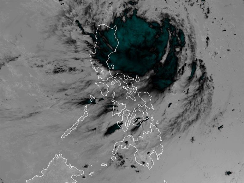
Track and intensity outlook
Julian is expected to shift west-southwest on Saturday and turn northwest on September 29 and 30, potentially approaching Batanes and Babuyan Islands.
It is projected to continue intensifying, possibly reaching typhoon status by Monday, with a chance of becoming a super typhoon.


- Latest
- Trending