‘Helen’ to exit PAR, but rain, winds will persist

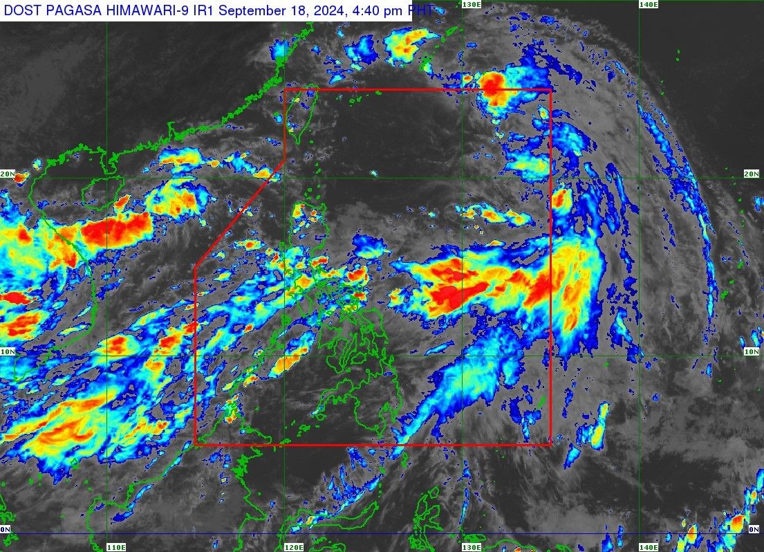
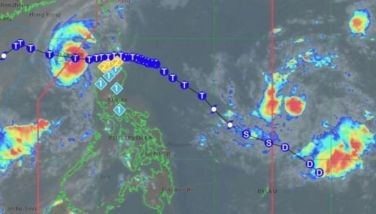
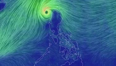
MANILA, Philippines — Tropical Storm Helen (International name: Pulasan) is set to leave the Philippine area of responsibility (PAR) by Wednesday night, September 18, but it will still enhance the southwest monsoon or habagat, triggering rain and winds across the country.
PAGASA said that Tropical Depression Gener will also enhance the southwest monsoon, despite being outside the PAR.
As of 4 p.m., Helen was spotted 930 kilometers east northeast of Extreme Northern Luzon, with maximum sustained winds of 85 km per hour near the center and gustiness of up to 105 km/h.
Zambales and Bataan may experience intense rains tonight, while Metro Manila, Bulacan, Pampanga, Calabarzon and Mimaropa may experience heavy rains.
The following areas can also expect strong, gale-force gusts this evening: Zambales, Bataan, Pampanga, Bulacan, Metro Manila, Calabarzon, MIMAROPA, Bicol Region, Visayas, Zamboanga Peninsula, Northern Mindanao, Caraga and Davao Region.
Meanwhile, Ilocos Region, Isabela, Aurora, Zambales, Bataan, Metro Manila, Calabarzon, Mimaropa, Bicol Region, Western Visayas, Negros Island Region and Zamboanga Peninsula will experience strong winds tomorrow.
Strong to gale-force winds will also hit Batanes, Ilocos Region, Abra, Benguet, Aurora, Zambales, Bataan, Cavite, Batangas, Quezon, Occidental Mindoro, Marinduque, Romblon and Kalayaan Islands by Friday.
A gale warning has been hoisted over the following areas: the seaboards of Batanes and Ilocos Region, the eastern seaboard of Palawan (including seaboards of Cuyo Islands), seaboard of Antique, the northern and eastern seaboard of Cagayan Valley, the remaining western seaboards of Western Visayas, the western seaboard of Negros Island Region and the remaining seaboards of Mimaropa.
“Mariners of small seacrafts, including all types of motorbancas, are advised not to venture out to sea under these conditions, especially if inexperienced or operating ill-equipped vessels,” PAGASA said.
- Latest
- Trending


