As 'Gener' leaves, 'Helen' moves inside PAR

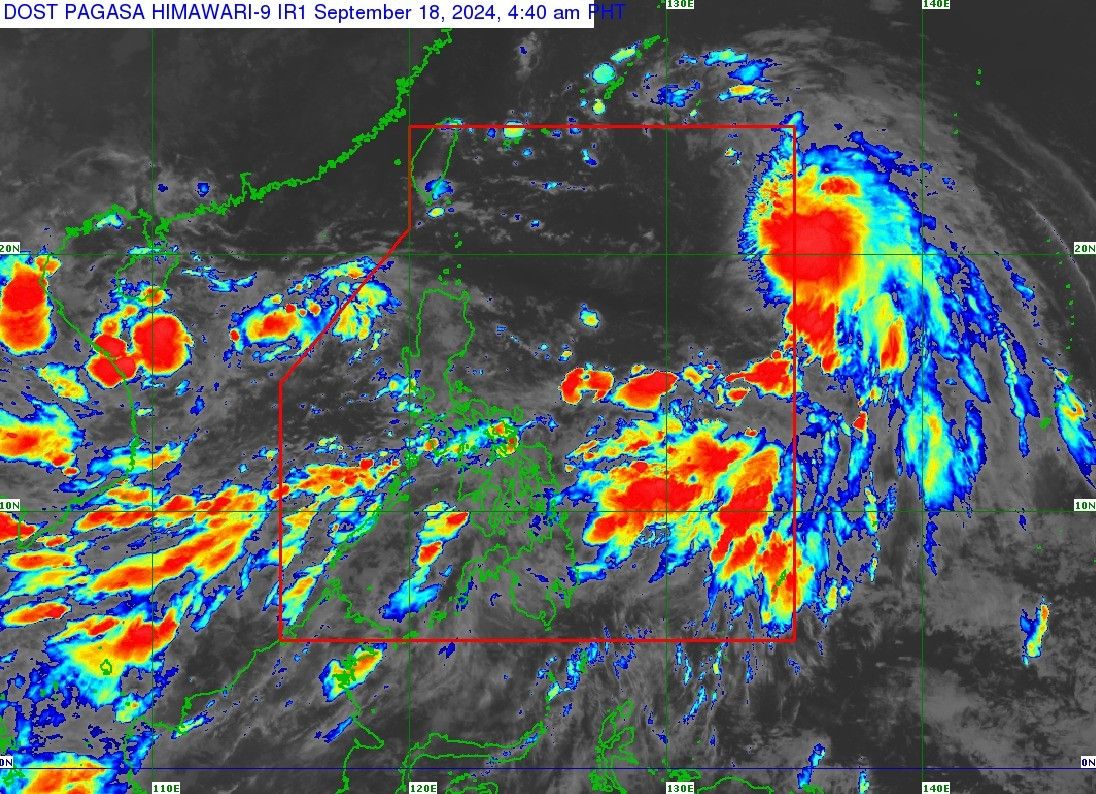
MANILA, Philippines — Tropical Depression Gener has left the Philippine area of responsibility (PAR) but Tropical Storm Helen (International name: Pulasan) is briefly swooping in to take its place on Wednesday, September 18, PAGASA said.
Gener left the PAR at around 2 a.m., moving westwards toward the South China Sea.
Helen entered the PAR on Tuesday evening. It is currently 1,150 kilometers east northeast of extreme Northern Luzon, with maximum sustained winds of up to 85 kilometers per hour.
However, PAGASA said that Helen is likely to exit PAR by this afternoon or evening as it heads towards the southern part of Japan. It is also not expected to make landfall, nor will it have a direct impact on the country.
While no tropical cyclone wind signal is in effect, both tropical cyclones are still expected to enhance the southwest monsoon, triggering rain across different parts of the country.
In its latest weather bulletin, Palawan, Occidental Mindoro, and Antique are forecast to experience monsoon rains, while the rest of Mimaropa, Western Visayas, Batangas, Zambales, Bataan and Pangasinan will experience occasional rains.
Meanwhile, cloudy skies with scattered rains and thunderstorms will prevail over Metro Manila, Zamboanga Peninsula, BARMM, Caraga, Northern Mindanao, Cordillera Administrative Region, Bicol Region, and the rest of Visayas, Calabarzon, Central Luzon, and Ilocos Region.
PAGASA said that the western section of Southern Luzon and Visayas can expect strong winds and rough waters.
- Latest
- Trending


