


Bill creating Philippine 'disaster map' passes first reading in Congress
MANILA, Philippines — A bill mandating the issuing of a national disaster map of the Philippines has passed the first reading at the House of Representatives.
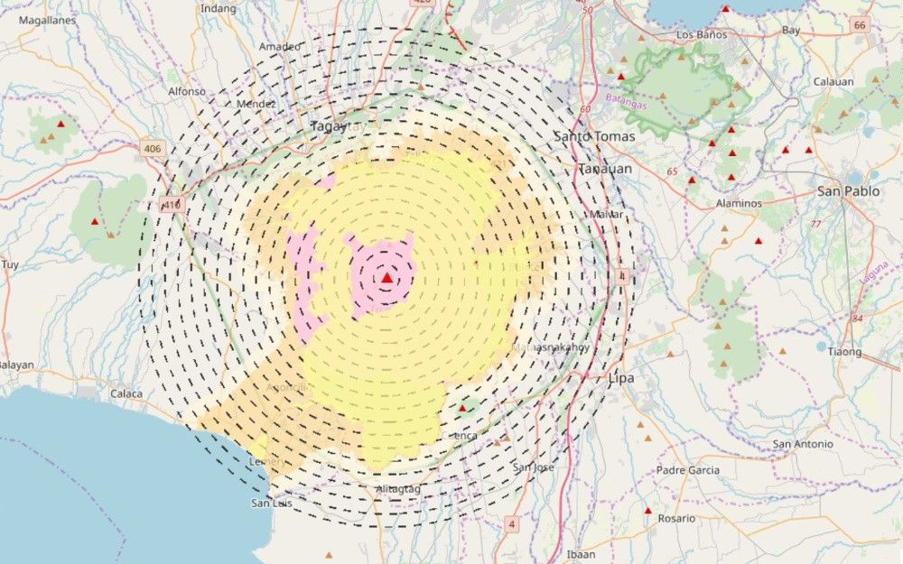
House Bill No. 7278 or the National Hazard Mapping Act directs several departments to work together in creating a national disaster map that would eventually be helpful in preventing the loss of lives and properties during calamities.
According to the bill’s principal author, Quezon City First District Rep. Arjo Atayde, having a disaster map is beneficial for a more effective and anticipatory approach to natural disasters.
“No one can predict or prevent natural disasters; but we can most certainly prepare our countrymen for them,” said Atayde
The House Committee on Climate Change, chaired by Bohol 1st District Rep. Edgar Chatto, unanimously approved HB 7278 last Tuesday.
Under Section 3 of the said bill, the Department of Environment and Natural Resources, through the National Mapping and Resource Information Authority and together with the Department of Science and Technology, Climate Change Commission, and the National Disaster Risk Reduction and Management Council “will be directed to provide and issue a national disaster map of the Philippines.”
“This measure will arm our people with the knowledge they need to take the steps necessary to ensure that their families and their homes are out of harm’s way,” Atayde added.
The national disaster map will identify “low-lying areas vulnerable to rising sea levels as a result of climate change and high risk for natural disasters.”
It will also mark lands that are: 1. bordering sea levels 2. exposed to volcanic eruptions and 3. lying on earthquake faults. It shall also provide the criteria for evacuation and illustrations of recommended evacuation sites and routes.
“This information provided by a national disaster map will help people all around our country, which we know is vulnerable to disasters. Kahit po sa QC nakita na natin na may mga lugar na delikado magpatayo ng bahay,” said the neophyte lawmaker.
“The tragic part is that we discover this after the fact; after the damage has been done and lives have been lost. A national disaster map can prevent all these.”


- Latest
- Trending


