'Leon' gains strength over Philippine Sea, likely to become typhoon
MANILA, Philippines — Tropical Storm Leon (international name: Kong-Rey) has slightly intensified as it continues to move westward across the Philippine Sea.
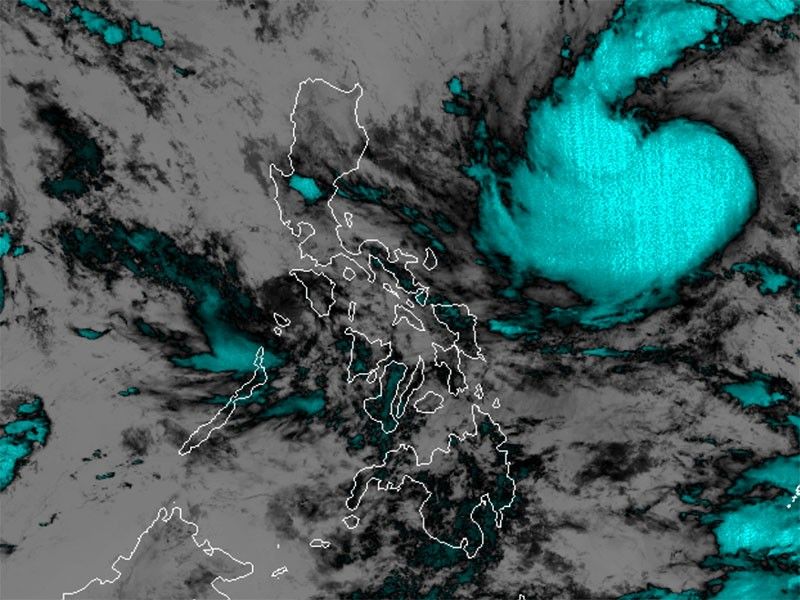
As of 4 p.m. on Sunday, October 27, Leon was spotted 1,000 km east of Central Luzon.
Bearing peak winds of 75 kilometers per hour and gusts of up to 90 kph, Leon is moving westward at 20 kph.
Heavy rains, severe winds
Depending on its proximity to land during its north-northwestward movement, Leon’s outer rainbands may affect Extreme Northern Luzon.
PAGASA said the storm may reinforce the southwesterly windflow initially triggered by Tropical Storm Trami (formerly Kristine), bringing possible rains to parts of Visayas, Mindanao and the western section of Southern Luzon.
Tropical Cyclone Wind Signal No. 1 may be raised in parts of Cagayan Valley and the northeastern Bicol Region as early as Sunday night or by Monday.
Signal No. 2 could also be issued if Leon’s path brings it closer to land.
The following areas are likely to experience gusty to gale-force winds in the coming days:
- Sunday, October 27: Palawan, Romblon, Catanduanes, Sorsogon, Masbate, parts of Visayas, Dinagat Islands, Surigao del Norte and Camiguin.
- Monday, October 28: Batanes, Babuyan Islands, Batangas, parts of MIMAROPA, Bicol, Visayas, Northern Mindanao and Caraga.
- Tuesday, October 29: Aurora, Metro Manila, CALABARZON, MIMAROPA, Bicol Region, Visayas, Dinagat Islands, Surigao del Norte and Camiguin.
Sea conditions
PAGASA warned mariners of hazardous sea conditions and risky travel for small vessels, including motorbancas in the following areas:
- Up to 4 meters: Seaboard of Batanes
- Up to 3 meters: Seaboards of Kalayaan Islands, Babuyan Islands, northern and eastern Cagayan Valley and Catanduanes
- Up to 2.5 meters: Western seaboard of Palawan, Batangas, Bataan, Zambales, Occidental Mindoro, Pangasinan, La Union, Ilocos region, Aurora, northern mainland Quezon and Camarines Norte
- Up to 2 meters: Eastern seaboard of Dinagat Islands
Track, intensity outlook
The state weather bureau said Leon is expected to continue moving westward on Sunday, before shifting to a northwestward path from Monday through Tuesday.
It is projected to intensify, possibly reaching the severe tropical storm category by Monday and typhoon category by Tuesday.
Leon’s current trajectory keeps it distant from the Philippine landmass, but it could pass close to Taiwan or Japan’s Ryukyu Islands later this week.


- Latest
- Trending