'Jenny' to bring storm signals over extreme Northern Luzon on Sunday — PAGASA

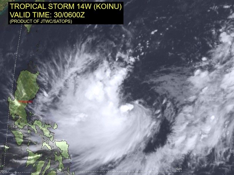
MANILA, Philippines — Tropical Storm Jenny has decelerated as it moved northwestward over the Philippine Sea, according to the latest forecast of state weather bureau PAGASA.
The eye of the storm was last seen 995 kilometers east of Central Luzon at around 4 p.m. on Saturday.
- Maximum sustained winds: 65 kilometers per hour near the center
- Gustiness: up to 80 kph
- Direction: northwestward
- Movement: 10 kph
"Tropical Storm Jenny is not directly affecting the country at this time. However, due to the proximity of the track forecast to extreme Northern Luzon, heavy rainfall over Batanes and Babuyan Islands may be experienced on Tuesday or Wednesday," said the state weather bureau.
"A landfall or close approach scenario over extreme Northern Luzon or northeastern mainland Cagayan is not ruled out since these scenarios are within the forecast confidence cone."
According to PAGASA, the weather disturbance is forecast to move northwestward until Monday.
The tropical storm is seen to steadily intensify throughout the forecast period and could reach severe tropical storm category come Sunday.
"The current forecast scenario shows that tropical cyclone wind signals may be hoisted over extreme Northern Luzon tomorrow or on Monday in anticipation of the onset of tropical cyclone severe winds," PAGASA said, noting that it could occur earlier should there be changes in the forecast.
"Furthermore, this tropical cyclone may reach typhoon category on late Monday or on Tuesday."
'Jenny' might enhance habagat bringing rains
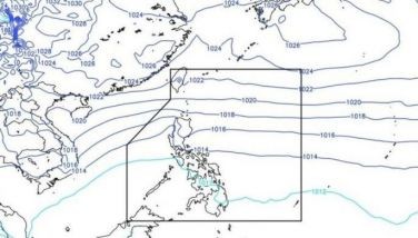
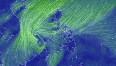
Jenny may also enhance the prevailing southwest monsoon, resulting in occasional rains over the western parts of Southern Luzon and Visayas on Sunday.
The habagat's potential enhancement will bring gusty conditions to the following areas on Sunday, especially in coastal and upland areas exposed to winds:
- Palawan
- Romblon
- most of Visayas
- Dinagat Islands
- Latest
- Trending


