'Leon' maintains strength as it moves over Philippine Sea
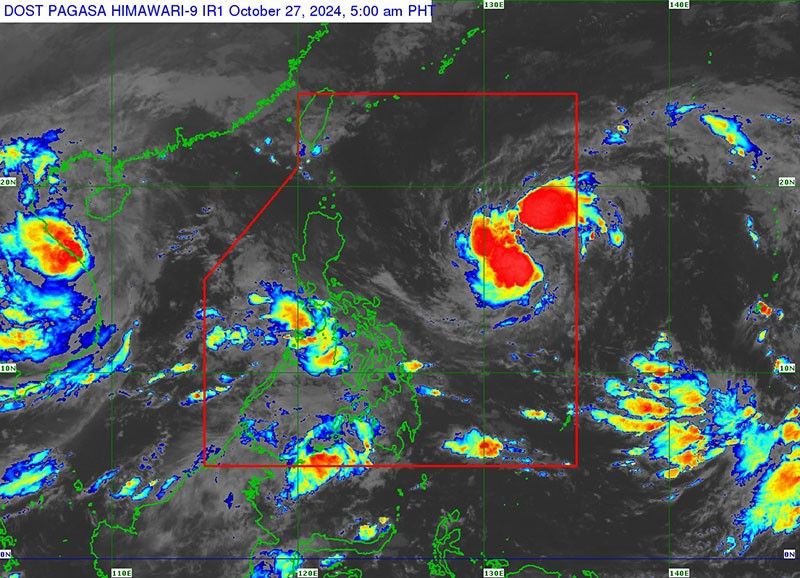
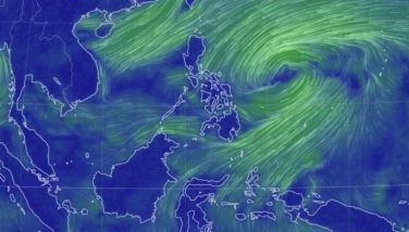
MANILA, Philippines — Tropical Storm Leon (international name: Kong-Rey) maintained its strength as it moved westward over the Philippine Sea, state weather bureau PAGASA said.
According to PAGASA’s 5 a.m. bulletin on Sunday, October 27, Leon was located approximately 1,195 kilometers east of Central Luzon, moving westward at a speed of 20 kilometers per hour (kph).
It has maximum sustained winds of 65 kph and gusts reaching up to 80 kph.
No tropical cyclone wind signal (TCWS) is currently in effect. However, TCWS No. 1 may be raised over parts of Cagayan Valley and the northeastern section of the Bicol Region as early as Sunday night.
Stronger signals could be issued if Leon’s path shifts westward, according to the state weather bureau.
The highest possible TCWS that may be issued during Leon's presence is TCWS No. 2, depending on the storm's path.
Leon is not expected to directly impact the country’s weather within the forecast period.
However, depending on its proximity during its recurvature over the Philippine Sea, the storm’s outer rainbands could affect extreme northern Luzon.
It may also continue to influence the southwesterly wind flow, initially set off by Severe Tropical Storm Trami (formerly Kristine), potentially bringing gusty conditions to parts of western Southern Luzon, Visayas and Mindanao in the coming days.
Coastal waters
Moderate seas are expected in the following coastal areas:
- Up to 3.0 meters: Western seaboard of Luzon
- Up to 2.5 meters: Northern and eastern seaboards of Northern Luzon; northern and eastern seaboards of Catanduanes; northeastern seaboard of Northern Samar; and northeastern seaboard of Eastern Samar.
- Up to 2 meters: Remaining seaboards of Luzon, Visayas and the eastern and southern seaboards of Mindanao.
Mariners operating small vessels like motorbancas are advised to exercise caution and, if possible, avoid sailing in these conditions.
Track, intensity forecast
Leon is anticipated to maintain its current westward movement until early Monday, October 28, before it turns west-northwestward.
Leon may intensify by early next week, reaching severe tropical storm status and potentially strengthening into a typhoon by Tuesday, October 29.
The storm is expected to shift northwestward and could make landfall over the Ryukyu Islands in Okinawa, Japan, by Friday, November 1.
The next bulletin will be issued by PAGASA at 11 a.m.


- Latest
- Trending