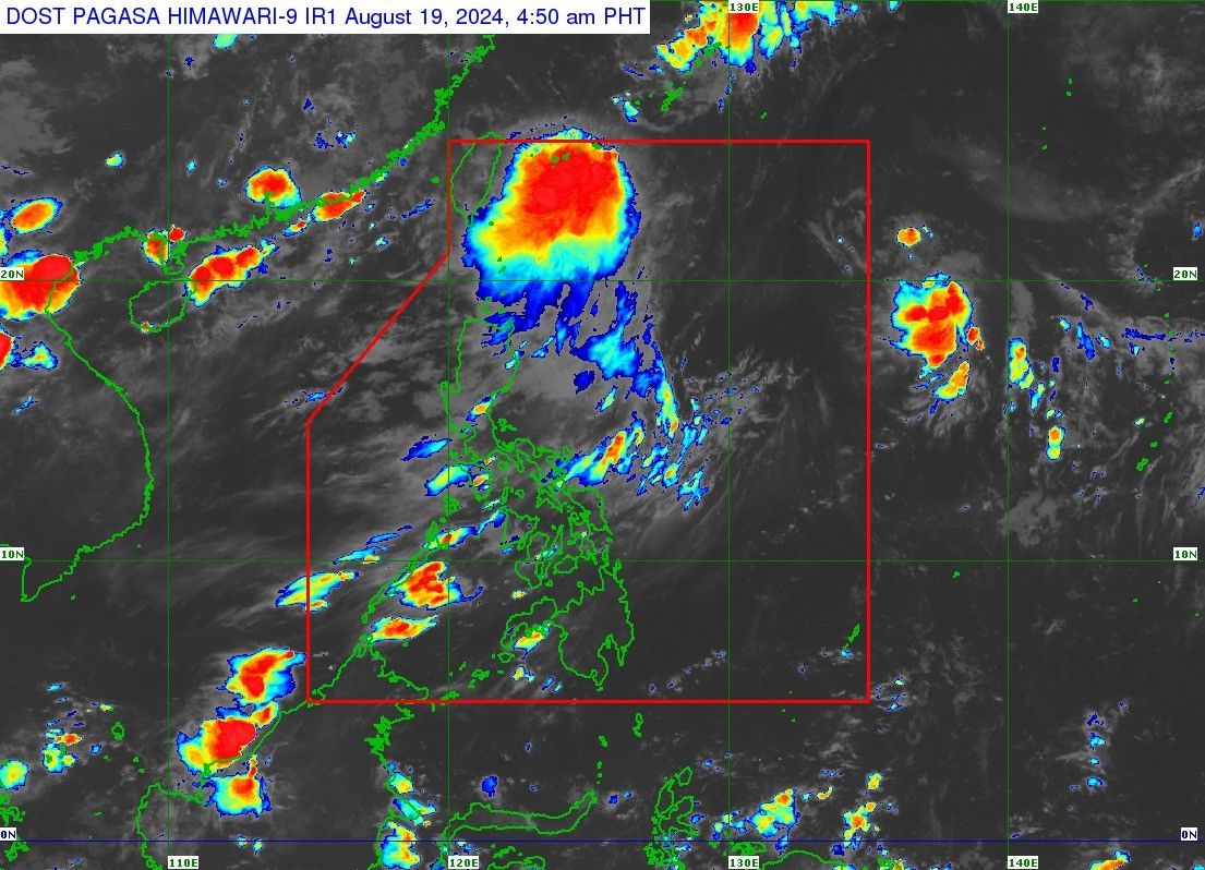
'Dindo' intensifies into tropical storm; out of PAR by Monday noon

MANILA, Philippines — Tropical depression Dindo (international name: Jongdari) intensified into a tropical storm early Monday, but no tropical cyclone wind signals have been hoisted as of now, according to state weather bureau PAGASA.
As of 4 a.m., PAGASA estimated the center of Dindo to be located 640 kilometers northeast of Itbayat, Batanes, packing maximum sustained winds of 65 km per hour near the center, with a gustiness of up to 80 kph.
Dindo is moving northeastward at 10 kph and bringing strong to gale-force winds that extend outwards up to 320 km from the center, according to the state weather bureau.
While no tropical cyclone wind signals have been raised, PAGASA said the combined effects of the tropical storm and the southwest monsoon could bring moderate sea conditions over the coastal waters of extreme Northern Luzon.
It has advised mariners on motor bancas and similarly sized vessels to take precautionary measures while venturing out to sea. "If possible, avoid navigating in these conditions, especially if inexperienced or operating ill-equipped vessels," PAGASA said.
Dindo is expected to move northward and exit the Philippine Area of Responsibility (PAR) within the next six hours.
After leaving PAR, it is projected to track over the East China Sea, heading toward either the Korean Peninsula or the eastern coast of China.
Dindo is expected to stay as a tropical storm within the forecast period, with little chance of intensifying after it leaves the PAR. It may also start weakening within the next 24 hours.
The southwest monsoon is expected to bring cloudy skies with scattered rains and thunderstorms to Batanes and the Babuyan Islands, with moderate to heavy rainfall potentially causing flash floods or landslides.
In Metro Manila and the rest of the country, partly cloudy to cloudy skies with isolated rain showers or thunderstorms are anticipated due to localized weather patterns. Severe thunderstorms in these areas could also lead to flash floods or landslides.
- Latest
- Trending


