'Butchoy' leaves PAR, 'Carina' may strengthen into typhoon — PAGASA
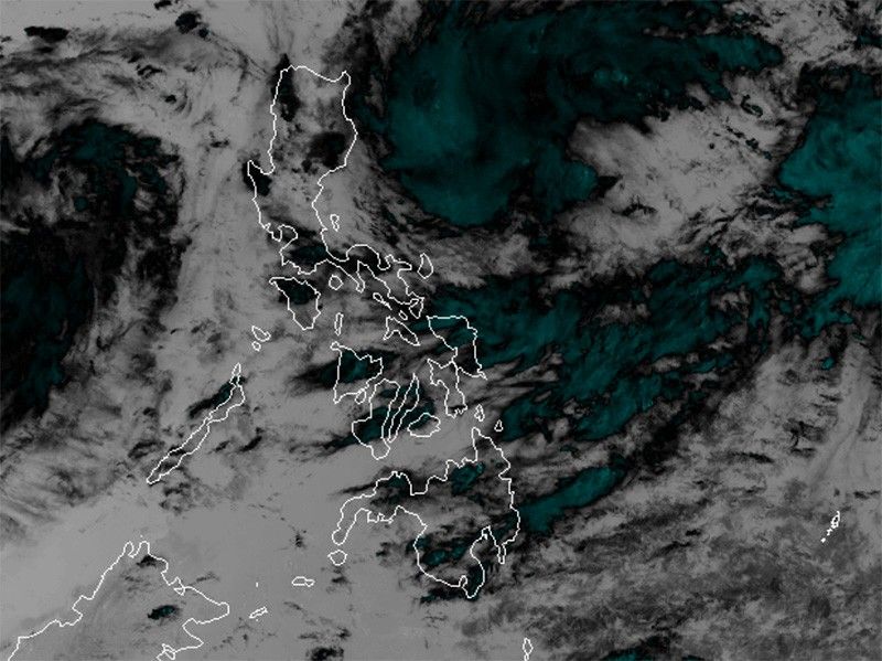
MANILA, Philippines — Tropical Depression Butchoy has exited the Philippine Area of Responsibility (PAR), while Tropical Depression Carina is expected to intensify into a typhoon by early next week, according to state weather bureau PAGASA.
Butchoy was last spotted 565 kilometers west of Iba, Zambales, with peak winds of 55 kilometers per hour near the center and gusts of up to 70 kph. It is moving west northwest at 10 kph.
"Butchoy is unlikely to directly affect the country within the next three days," PAGASA said.
Carina, on the other hand, was last located 510 km east northeast of Virac, Catanduanes, carrying maximum sustained winds of 55 kph with gustiness of up to 70 kph while moving west northwest at 30 kph.
PAGASA reported that heavy rainfall directly caused by Carina "remains less likely over next three days."
Carina is expected to intensify into a tropical storm within the next 12 to 24 hours and may reach typhoon status by Tuesday.
Severe winds
Both Butchoy and Carina are expected to enhance the southwest monsoon or habagat, which will bring gusty conditions to the following areas:
- Saturday and Sunday: Kalayaan Islands
- Monday: CALABARZON, MIMAROPA, Bicol Region, Western Visayas, Zambales, Bataan and Metro Manila
In the next 24 hours, the southwest monsoon enhanced by Butchoy will cause slight to moderate seas (0.5-2.0 m) along the coastal waters of Ilocos Region, Zambales, Bataan, Occidental Mindoro and northern Palawan, including Calamian (west coast) and Kalayaan Islands.
"Mariners of motor bancas and similarly-sized vessels are advised to take precautionary measures while venturing out to sea," PAGASA said.
Track outlook
Butchoy is expected to continue moving west northwest until Sunday. Beginning Monday, it will shift to a north northwest direction.
Meanwhile, Carina is forecast to move northwest until Sunday, gradually slowing down. On Monday, it will turn northward.
Starting Tuesday, Carina is projected to accelerate northward or north northwestward over the Philippine Sea towards the Ryukyu archipelago, maintaining an offshore path away from the Philippine landmass.


- Latest
- Trending