‘Chedeng’ weakens to severe tropical storm as it exits PAR
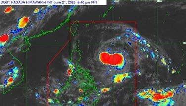
MANILA, Philippines – As of the state weather bureau’s 5 p.m. advisory, Chedeng (international name: Guchol) has weakened into several tropical storm from typhoon category as it continues its way out of the Philippine area of responsibility.
Chedeng’s center was last estimated moving 1,210 kilometers east-northeast of extreme northern Luzon, moving north-northeastward at 25 km per hour. Winds continue to slow at 110 kph near the center and gusts of up to 135 kph.
“Chedeng will continue moving away from Philippine landmass. It is forecast to accelerate northeastward and leave the PAR region tonight,” PAGASA said.
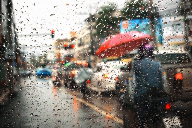
Meanwhile, southwest monsoon rains will continue affecting parts of the country, specifically Batanes, Babuyan Islands, Ilocos Region, Cordillera Administrative Region, Nueva Vizcaya, Central Luzon, Metro Manila, Calabarzon, MIMAROPA, the Bicol region, and Western Visayas.
The state weather bureau said the southwest monsoon will be affected by a frontal system, which would bring rains in Luzon – particularly in its west and extreme north parts – from Tuesday onwards.
Chedeng's forecast position:
- June 12, Monday at 2 a.m. - 1,485 km east northeast of extreme northern Luzon (outside PAR)
- June 12, Monday at 2 p.m. - 1,890 km northeast of extreme northern Luzon (outside PAR)


- Latest
- Trending