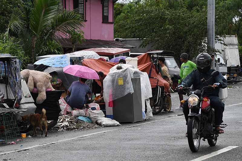
LGUs told to prepare as 'Queenie' intensifies into tropical storm

MANILA, Philippines — 'Queenie' has intensified into tropical storm and state weather forecasters expect it to gain more strength in the next 12 hours.
According to PAGASA’s 11 a.m. bulletin, Queenie’s center was last spotted 815 kilometers east of northeastern Mindanao, with winds as high as 65 km per hour and gusts of up to 80 kph. It entered the Philippine monitoring area at 5 a.m. on Monday.
No tropical cyclone wind signals have been raised yet and PAGASA notes that the storm will not “directly affect the country” until Tuesday.
For now, the highest wind signal expected is Tropical Cyclone Wind Signal No. 1. This may be hoisted over the eastern part of Caraga and other areas in Eastern Visayas starting Tuesday evening. Light to moderate, with sometimes heavy rains, may be experienced over Caraga, Eastern Visayas, and Bicol starting Wednesday.
Assistant Secretary Raffy Alejandro, spokesman of the National Disaster RIsk Reduction and Management Council, reminded local government units to check and restock their supplies in preparation for the weather disturbance.
“We have protocols to follow and we will be implementing them,” Alejandro told state television during a Laging Handa briefing on Monday.
Meanwhile, the Department of Social Welfare and Development said they have already prepared supplies and are prepositioning them in areas seen to be affected by Queenie.
State weather service PAGASA expects Queenie to move westward in the next 12 hours before moving west northwestward starting Tuesday. The storm is forecast to weaken by tomorrow evening or Wednesda, moving to the Caraga-Eastern Visayas area starting Wednesday afternoon.
Queenie comes just after Paeng (international name: Nalgae) left nearly 100 casualties over the weekend.
- Latest
- Trending


