


'Champi' seen entering PAR at super typhoon strength
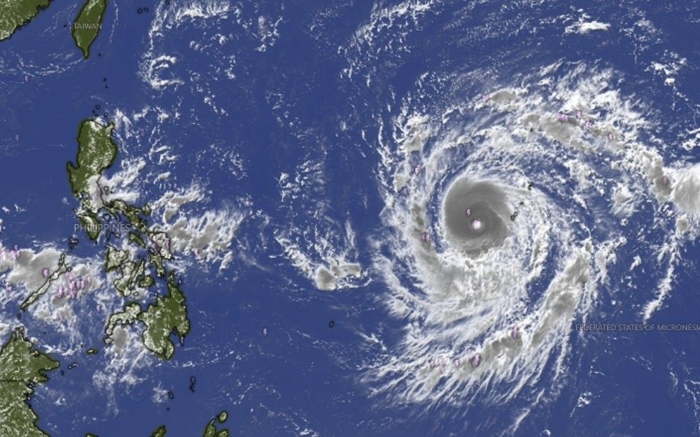
MANILA, Philippines — Super Typhoon Champi may enter the Philippine area of responsibility by Tuesday morning or afternoon, October 20, while maintaining its strength, state weather bureau PAGASA said.
In its advisory Sunday morning, PAGASA said the tropical cyclone will be given the local name Rosal once inside PAR.
As of 11 a.m. Sunday, October 18, Champi was estimated 2,090 kilometers east of southeastern Luzon, outside PAR.
The super typhoon had maximum sustained winds of 185 kilometers per hour near the center, gusts of up to 230 kph and a central pressure of 940 hectopascals.
Champi was maintaining its strength while moving westward over the sea near Guam, PAGASA noted.
The cyclone is forecast to move generally west-northwestward and enter PAR by Tuesday morning or afternoon.
Champi is expected to remain a super typhoon as it crosses into PAR before gradually weakening beginning Tuesday after reaching its peak intensity.
PAGASA said the cyclone will continue moving west-northwestward toward Taiwan.





- Latest
- Trending


