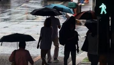
'Tino' now inside PAR —PAGASA

MANILA, Philippines —Tropical Storm Kalmaegi entered the Philippine Area of Responsibility (PAR) on Sunday, November 2, and has been given the local name “Tino,” according to the state weather bureau PAGASA.
PAGASA said Tino entered the PAR at 5:30 a.m.
As of writing, the state weather bureau has yet to issue updated wind speed data. However, as of 3 a.m., when the storm was still outside the PAR, Tino’s eye was estimated to be about 1,230 kilometers east of Eastern Visayas.
At that time, it was moving west-northwestward at 15 kilometers per hour (kph) with maximum sustained winds of 85 kph and gusts of up to 105 kph.
Shear line, amihan. Some areas in Luzon may experience rain due to the shear line and the northeast monsoon, locally known as amihan.
The Ilocos Region and Batanes may have cloudy skies with rains brought by the amihan, while the Cordillera Administrative Region, Aurora, Quezon and the rest of Cagayan Valley may experience cloudy skies with scattered rains and thunderstorms due to the shear line.
PAGASA warned residents in areas affected by the shear line of possible flash floods and landslides caused by moderate to, at times, heavy rains.
Metro Manila and the rest of the country may see partly cloudy to cloudy skies with isolated rain showers or thunderstorms from localized thunderstorms.



- Latest
- Trending