AI-powered drone deployed to detect floods 2 hours ahead

MANILA, Philippines — The Manila city government has invested in AI technology that can predict flooding up to two hours before it happens, Mayor Isko Moreno announced yesterday.Moreno said the city now uses a drone that is powered by artificial intelligence and 3D technology to map city-wide structures down to millimeter precision.
“We can predict whether flooding will occur by calculating the amount of rainfall, the volume of water in relation to our land elevation,” he said.
“Once we have mapped all the drainage systems, we can easily detect within a few minutes which areas will experience flooding two hours afterward,” Moreno added.
Moreno said the system’s early flood warnings could save lives and property by enabling timely evacuations before the floods occur.
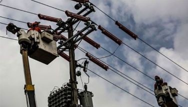
Enabled by a geographic information system through the ArcGIS system, the local government monitors everything from the location and condition of electric posts to zoning compliance across all districts.
The investment in data input and banking serves as a legacy for future LGU heads to access a comprehensive system that encompasses real property, business data and health care information.
“The city will continue investing in its digital infrastructure so that every decision made by future leaders will be backed by reliable, real-time data,” said Moreno.
The Manila City Disaster Risk Reduction and Management Department received an award last week in San Diego, California for its use of GIS in disaster response.





- Latest
- Trending