


PAGASA raises La Niña alert
MANILA, Philippines — The state weather bureau has raised a La Niña alert, which could mean more extreme rainfall and flooding in the coming months.
There is a 70-percent chance that La Niña will develop between October and December this year, and may last until February 2026, according to the Philippine Atmospheric, Geophysical and Astronomical Services Administration (PAGASA).
“Recent climate monitoring and analyses show further cooling of the sea surface temperatures across the central and eastern equatorial Pacific,” PAGASA administrator Nathaniel Servando said. “Most climate models combined with expert judgments suggest a 70 percent chance of La Niña forming in the October to December 2025 season, and it is likely to persist until December 2025 to February 2026.”
La Niña, the cool phase of the El Niño-Southern Oscillation (ENSO), is marked by unusually cooler-than-average sea surface temperatures in the Pacific.
Servando explained, “When conditions are favorable for its development within the next two months and the probability reaches 70 percent or higher, a La Niña alert is issued.”
The bureau said La Niña often brings above-normal rainfall and could lead to an increase in tropical cyclones toward the end of the year, thereby raising the risks of floods and landslides in vulnerable areas.
These impacts may be triggered by rain-bearing weather systems such as monsoons, severe thunderstorms, low-pressure areas, easterlies, shearlines and the intertropical convergence zone.
Rice output lower
Agriculture Secretary Francisco Tiu Laurel Jr. said yesterday the country’s rice output this year may come in slightly lower than earlier projected, due to the expected La Niña weather pattern.
Speaking to reporters at the Department of Agriculture (DA) office in Quezon City during the roll-out ceremony for the government’s P20 per kilogram rice program, Tiu Laurel said the potential impact is a reduction in palay output.
“Instead of 20.45 million metric tons, it will be about (20.35 million) metric tons. So, it will go down (by) 100,000 tons,” he said.
‘Mirasol’ nears landfall
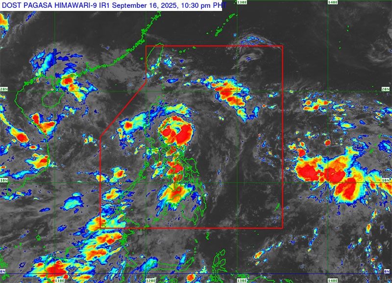
Meanwhile, PAGASA hoisted Tropical Cyclone Wind Signal (TCWS) No. 1 over several provinces in Northern and Central Luzon yesterday, as Tropical Depression Mirasol moved closer to the country’s eastern seaboard.
Areas now under Signal No. 1 include Batanes, Cagayan, including the Babuyan Islands, Isabela, Quirino, Apayao, Kalinga, Abra, Mountain Province, Ifugao, Ilocos Norte, and Catanduanes. Also covered are the Polillo Islands, the northern portion of Camarines Norte, the northeastern part of Camarines Sur, and the northern and central areas of Aurora.
In Nueva Vizcaya, the towns of Diadi, Quezon, Kasibu, Dupax del Norte, Bambang, Ambaguio, Bayombong, Solano, Villaverde, and Bagabag are also under Signal No. 1.
In Laguna, Gov. Sol Aragones suspended classes in all levels of public and private schools today due to the weather. — Bella Cariaso


- Latest
- Trending


