


Rosal seen to weaken into LPA
MANILA, Philippines — Tropical Depression Rosal is forecast to dump rains in parts of Luzon and other areas of the country today as it weakens into a low-pressure area tonight, state weather specialists said.
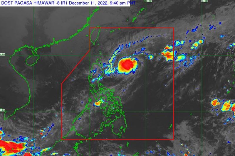
The Philippine Atmospheric, Geophysical and Astronomical Services Administration (PAGASA) said no typhoon signal has been raised as the weather disturbance continues to move east-northeastward at a speed of 15 kilometers per hour.
Yesterday afternoon, Rosal was monitored 420 km east of Casiguran, Aurora or 455 km east of Tuguegarao City, Cagayan with maximum sustained winds of 55 kph near the center and gustiness of up to 70 kph.
“In the next 24 hours, the surge of the northeast monsoon partly enhanced by this tropical depression may bring occasional gusts reaching gale-force over Batanes and Babuyan Islands, and strong breeze to near-gale strength over Ilocos Norte, northern and eastern portions of Cagayan, eastern portion of Isabela, Calaguas Islands, and the extreme northern portion of Catanduanes,” PAGASA said.
It added that under the influence of the northeast monsoon, partly enhanced by Rosal, a gale warning is in effect along the seaboards of Northern Luzon.
“In the next 24 hours, the combined effects of the surge of the northeast monsoon and the tropical cyclone may also bring moderate to rough seas (1.5 to 3.5 m) over the seaboards of Central Luzon and the eastern and western seaboards of Southern Luzon,” PAGASA said.
“These conditions may be risky for those using small seacraft. Mariners are advised to take precautionary measures when venturing out to sea and, if possible, avoid navigating in these conditions,” it added.
Rosal is forecast to move generally northeastward or east northeastward Monday through Tuesday morning before turning east southeastward.
“In the near term, Rosal may still intensify into a low-end tropical storm within 24 hours. However, increasingly unfavorable conditions associated within the monsoon surge by late Monday will result in a weakening trend,” PAGASA said.
By late Tuesday or Wednesday, Rosal may further weaken and be embedded along the leading edge of the monsoon surge.
To assure residents of areas likely to be affected by the weather disturbance, Social Welfare Secretary Erwin Tulfo said his department is already on alert and ready to provide assistance to local government units.
In a recent meeting with regional field offices (FOs), Tulfo instructed all regional offices of the Department of Social Welfare and Development (DSWD) to prepare for any adverse impact of Rosal.
“Citizens look up to us and we are expected to do our job. And our job is to respond to every calamity or disaster,” Tulfo said.
As early as Saturday, the DSWD Central Office, FOs and the National Resource Operations Center have prepared stockpiles and standby funds amounting to more than ?1.4 billion.
Also, more than 547,000 family food packs are available to augment the resources of the LGUs.
Meanwhile, the DSWD provided assistance to stranded individuals at Port Pasacao in Camarines Sur. The four travelers bound for San Pascual, Masbate were provided with family food packs by the DSWD’s Field Office 5 in Bicol.
Tulfo urged the public to remain vigilant and to follow the orders of their local officials to ensure their safety. – Rainier Allan Ronda


- Latest
- Trending


